
Bartlesville Neighbor Records by Block
For Bartlesville neighbors, the public record can explain a parcel, not declare a complete household list. Washington County's Bartlesville parcel map and Bartlesville City GIS show physical geography. The Bartlesville tax roll provides an owner and tax-year lead. Bartlesville voter data has its own access rules and protected records. Bartlesville library, museum, and tribal collections add history rather than current occupancy. Use each Bartlesville source for the narrow question it can answer, and do not turn a Bartlesville mailing address or parcel-owner result into a Bartlesville occupant claim.
| Source | What it shows about a block | Access |
|---|---|---|
| Bartlesville Washington County OKLM map | Parcel, 911 address layer, owner-card categories, legal description | Free reference viewer |
| Bartlesville City GIS | Lot boundaries, property context, address ranges, wards, fire zones, floodplain | Public city mapping |
| Bartlesville Washington County tax roll | Owner or business name, property ID, selected tax year, and tax fields | Free search; payment options have fees |
| Bartlesville OK Voter Portal | Registration context for an exact person, not a reverse block list | Free lookup with required fields |
| Bartlesville local history collections | Earlier names, city directories, obituaries, and microfilm context | Mixed online and in-library access |
The main distinction is owner versus occupant. A Bartlesville situs address is the parcel’s physical location; a Bartlesville mailing address is where notices go. Both can differ from the person who lives there. Bartlesville neighbor research should retain only the parcel, the owner category, legal description, zoning or use, and city-limit context needed for the question.
Mapping Bartlesville Neighbor Parcels
The block method starts with an address that has been written in its standard street form. Search the Washington County viewer for the Bartlesville address, then use the parcel and Bartlesville 911 overlays to locate the property. The Bartlesville city layer is useful for address ranges, corner lots, wards, lot lines, and municipal context. Pan only far enough to identify adjacent parcels. A line on a map is not a survey, and a parcel next door does not make the owner an occupant or a personal neighbor.
- Enter the exact Bartlesville address in the OKLM By Address or 911 Address Search field.
- Click the target parcel and record its Bartlesville account or Bartlesville legal description as a working reference.
- Pan to the immediately adjacent parcels and note only the parcel identifiers and Bartlesville situs addresses needed to compare the block.
- Check the Bartlesville record-card owner category, mailing-versus-situs fields, and the selected Bartlesville tax year without assuming any field proves occupancy.
- Use the County Clerk for a meaningful deed or plat question, and use Bartlesville city staff for current mapping questions.
The Washington County OKLM parcel viewer is the starting screen for this Bartlesville parcel workflow.
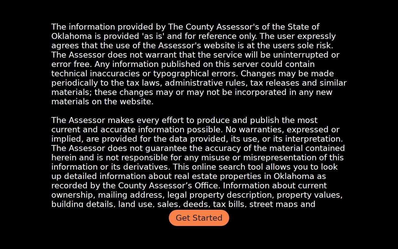
The viewer has name, account, address, legal-description, and 911-address search modes. Its Bartlesville property card can include ownership, mailing address, legal description, values, sales, deeds, tax bills, and map links. The county says this third-party-hosted data is reference information and not survey-grade, which makes confirmation important.
Bartlesville Neighbors Through Parcel Clicks
The Washington County help instructions for Bartlesville describe a workable adjacent-parcel flow: use Database Search, choose Search Map or Search List, select a result, then click the parcel for details. The map can be panned along the block and a result can return to parcel information. At close zoom, the 911 overlay helps distinguish address points. This is more reliable than trying to infer Bartlesville neighbors from a generic name result because it keeps the search tied to a physical parcel.
The Washington County help tool documents the click-parcel and record-card process.
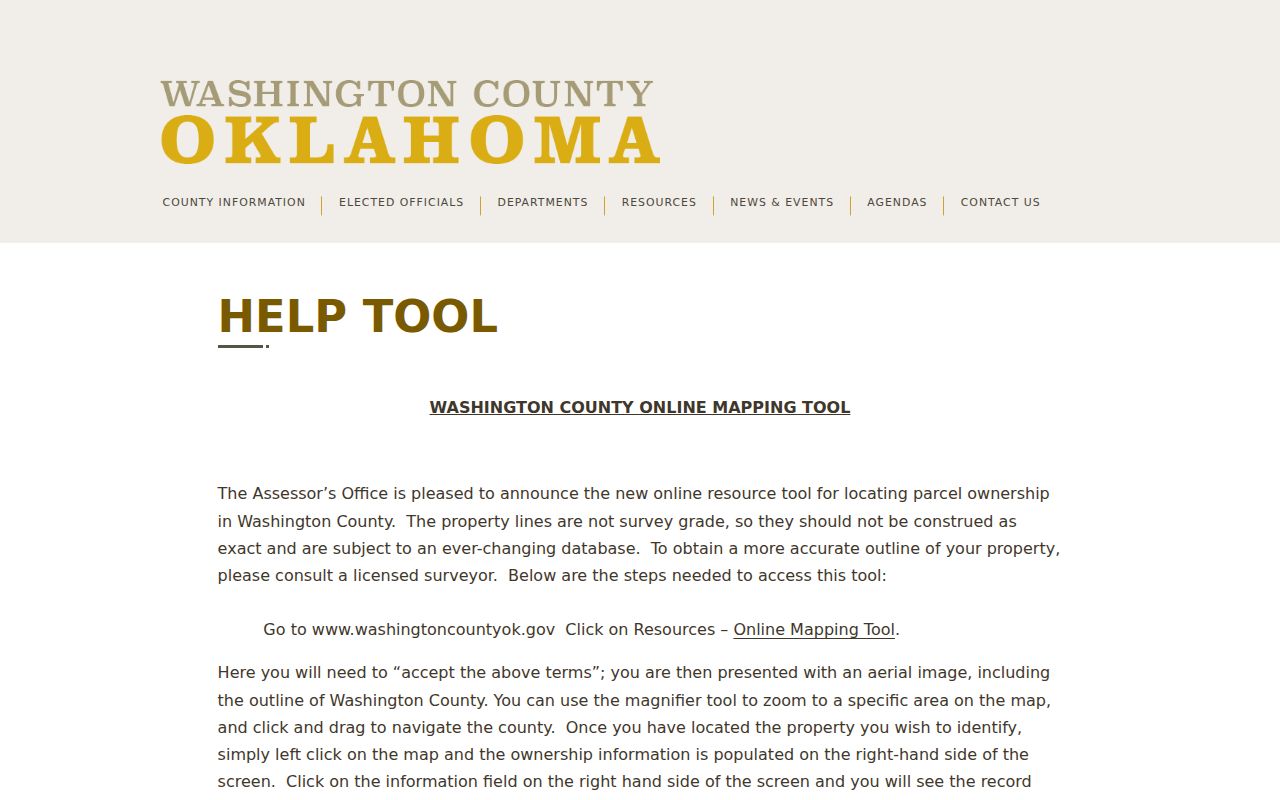
After the parcel click, a researcher can use the legal description or current owner as a lead for the Washington County Clerk in Bartlesville. The full named-street trail, including deeds and address-keyed sources, belongs in the Bartlesville street directory. The block workflow stays focused on the immediate surrounding parcels.
Note: An adjacent parcel owner may be a trust, business, estate, or remote owner rather than a nearby resident.
Bartlesville Neighbor Boundary Checks
Before calling two addresses Bartlesville neighbors, check geography. Bartlesville City GIS includes city-limit, zoning, ward, fire-zone, and floodplain context. The Census boundary material places Bartlesville in both Washington and Osage counties, while the Washington County map only reaches the county’s parcel records. A Bartlesville mailing address can therefore fall outside municipal limits or on a different county record trail. ZIP codes are postal delivery areas, not proof of city jurisdiction.
The Bartlesville City Planning materials can help explain a subdivision, plat, or zoning designation, but a subdivision name does not prove that an owner participates in an association. For any live boundary discrepancy, ask the responsible city or county office rather than relying on an old map image. A current address can also carry an honorary street name without a change to its mailing address.
Bartlesville Neighborhood Contact Routes
No official Bartlesville neighborhood-associations directory was located in the research. That gap matters. There is no supported basis for publishing a local association roster, member list, or contact directory. When a property’s plat or subdivision name is known, confirm any association with a verified organization or with the public office that handles the relevant city planning, plat, or open-record question. Do not infer membership from a parcel, a complaint, or a city layer.
| Contact route | When it fits | What it cannot confirm |
|---|---|---|
| Bartlesville Planning | Zoning, subdivision regulations, CityMaps, or a recorded-plat question | Association membership or a resident roster |
| Washington County Clerk | Recorded plats, deeds, and legal-description questions | Current household occupancy |
| Bartlesville City Government | City Clerk and city request routing | A substitute for a verified neighborhood organization |
Bartlesville Neighborhood Services receives property-maintenance complaints by online form, phone, or in person. Its page warns that investigation requests are public records. Those files may include address and contact fields, so they should be treated as sensitive property leads, not as evidence of conduct, ownership, or who lives on the block.
Bartlesville Neighbor Voter Limits
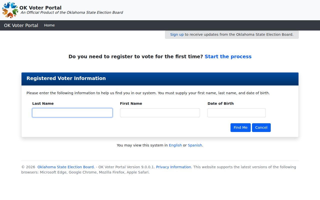
Voter information does not provide a lawful reverse list of Bartlesville neighbors. The portal requires last name, first name, and date of birth for a match. It can help an individual confirm registration, polling place, districts, and ballot information. It should not be used to build a mass list from nearby addresses. Public voter data is still limited: the application source, driver-license and state-ID information, and Social Security number are not public; phone and email are not part of the voter record described by the state material.
The OK Voter Portal shows the exact-name and DOB fields that constrain a Bartlesville neighbors check.
Restricted Records and the Address Confidentiality Program omit or protect qualifying voters. A failed result can reflect privacy protection, a recent move, spelling, a date mismatch, or registration status. It is not proof that someone does not live in Bartlesville.
Bartlesville Neighbor History Sources
Older records add context to a Bartlesville block, but they do not identify present occupants. The Bartlesville Public Library holds city directories on microfiche from 1907 through 2000, newspapers, and an obituary file. The Bartlesville Area History Museum has digitized collections for surname, street, building, company, and event searches. A 1917 Sanborn map can show the old block’s footprints, street names, lot boundaries, numbers, building use, water mains, and fire infrastructure for its mapped date.
The Delaware Tribe Tribal Archives provides Bartlesville-area genealogical, cultural, and educational research with its own access and cultural protocols.
The archives describe a digitization partnership with the Bartlesville Area History Museum and Bartlesville Public Library. Search a surname or place with respect for archival rules, then ask the archivist for context. A historical photograph, directory entry, or grave record can be a valuable family-history lead, not a current-address assertion.
Bartlesville Neighbor Source Comparison
Official records and commercial neighbor-search products answer different questions. An official layer identifies the record keeper, source date or tax year, and limits on what is shown. A commercial category may combine old and new data without making its match, address, or relationship transparent. For Bartlesville neighbors, the useful practice is to keep the official parcel, clerk, city, voter, and library channels separate and compare only the facts that each source can support.
| Category | Useful for | Limits to remember |
|---|---|---|
| Official parcel and clerk records | Parcel geography, ownership leads, recorded instruments, and legal descriptions | Owner, mailing address, and residence can differ |
| Official voter and city layers | Registration context for an exact person; wards, address ranges, and municipal geography | Protected voters and city-boundary differences limit conclusions |
| Commercial neighbor-search category | A possible starting lead only | May be stale, combined, incomplete, or unclear about source and date |
Note: Use the current official custodian record to resolve a conflict, not a combined profile or a loose name match.
Bartlesville Neighbor Privacy Limits
Bartlesville public records leave important facts private. Utility and delivery data are not a public neighbor list. Protected voter and victim addresses should never be sought or republished, and a court, cemetery, business, or tax reference can have a purpose unrelated to residence. Oklahoma’s Open Records Act gives access to existing records subject to exemptions. It does not require a custodian to create a customized list of people for a block.
When a record looks inaccurate, contact the custodian. Assessor disputes have their own review process, voter corrections belong with election officials, court corrections belong with the Court Clerk, and a library indexing error belongs with the library. Bartlesville neighbors are best understood through a small, documented parcel question, not through bulk collection or speculation.
Lawful use. Bartlesville neighbor research is for personal, lawful purposes. Do not use a parcel, map, or record to stalk, harass, intimidate, or harm anyone.